Research
My research develops deployable autonomy systems that combine geometry-aware perception, delay-aware cooperative sensing, and real-time planning/control. The work progresses from onboard perception and planning for a single autonomous shuttle to infrastructure-assisted perception and edge-cloud coordination for vehicles and mobile robots.
Geometry-Aware Perception and Motion Planning for Autonomous Vehicles
This direction addresses a core deployment problem: autonomous vehicles must reason about safe drivable space even when object detection is incomplete, weather degrades sensing, or road boundaries are ambiguous. I developed LiDAR point-cloud potential-field methods and LiDAR-camera-HD map fusion pipelines for real-time drivable-space generation, road-boundary representation, obstacle avoidance, and MPC trajectory generation.
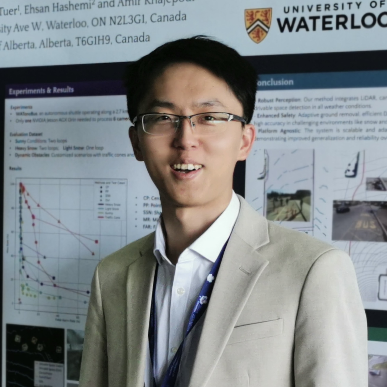
The planning work builds potential fields directly from point clouds and integrates them with model predictive control so the vehicle can generate dynamically feasible trajectories while considering vehicle constraints, collision avoidance, and comfort. The perception work combines LiDAR, camera, and HD map cues to estimate safe drivable space under adverse conditions. These modules were validated in simulation and on the WATonoBus full-scale autonomous shuttle, including complex road scenes and real-world operation in Canadian winter conditions.
Links: motion planning paper, IEEE TVT DOI, drivable-space paper, IEEE ITSC DOI, drivable-space code.
Cooperative Infrastructure Perception and CoInfra
CoInfra extends perception beyond the onboard vehicle by using a roadside infrastructure network to observe traffic from multiple viewpoints. I designed and deployed a 14-node roadside infrastructure network with cameras, LiDAR, edge computing, and 5G/Wi-Fi communication for adverse-weather traffic perception and city-scale data collection.
The system includes multi-node calibration, time synchronization, latency compensation, delay-aware fusion, cloud-side fusion, and globally consistent 3D tracking. It supports vehicle-infrastructure cooperation and multi-agent perception research by releasing system code and a large-scale adverse-weather dataset.
Links: CoInfra project page, arXiv paper, CoInfra GitHub.
Edge-Cloud Cooperative Mobility and Indoor Robot Autonomy
The Cloud-based Autonomous Mobility (CAM) framework integrates distributed infrastructure sensor nodes, edge perception, 5G/Wi-Fi communication, and cloud-level fusion to provide shared scene understanding for connected autonomous vehicles and indoor mobile robots. The same infrastructure sensing stack supports safety warning, connected autonomous driving, robot tracking, and motion planning.
For indoor autonomy, I integrated ceiling-mounted sensor nodes, uncertainty-aware 3D human pose estimation, delay-aware tracking, and closed-loop MPC planning on a real medical-bed robot platform. The goal is to make robot mobility more reliable under occlusion, crowded indoor traffic, and network latency. This work is connected to SAP-CoPE and the indoor cooperative perception system highlighted by UWaterloo News.
Links: CAM paper, CAM arXiv, SAP-CoPE paper, SAP-CoPE code, Indoor Cooperative Perception paper, Indoor Cooperative Perception code, UWaterloo media coverage.